
About
About LSYSTEMS
LSYSTEMS is a privately owned Papua New Guinean professional surveying and geospatial services firm founded and led by Richard Y. Nawara, a highly experienced registered surveyor licensed in Papua New Guinea, Queensland, and Western Australia.
With over 30 years of experience in mining, engineering, and land surveying across Papua New Guinea and Australia, Richard Nawara brings extensive industry expertise and leadership to every project. His experience includes working on large-scale mining operations and infrastructure projects where precision, safety, and reliable spatial data are critical to operational success.
Established as an independent surveying and geospatial consultancy, LSYSTEMS focuses on delivering technology-driven spatial solutions that support clients across mining, infrastructure, government, customary land management, and engineering sectors.
Headquartered in Port Moresby, Papua New Guinea, LSYSTEMS provides professional surveying, geospatial, and spatial intelligence services across PNG, with operational capability extending to Fiji and Australia for regional projects.
COUNTRIES
MAJOR MISSIONS
FLY HOURS
HECTARES MAPPED
Our Expertise
At LSYSTEMS, our expertise is built on more than three decades of practical experience in surveying, geospatial technology, and large-scale project environments. We combine industry knowledge with modern technologies such as UAV drone mapping, LiDAR scanning, 3D modelling, and GIS spatial intelligence to deliver reliable and accurate data for complex projects.
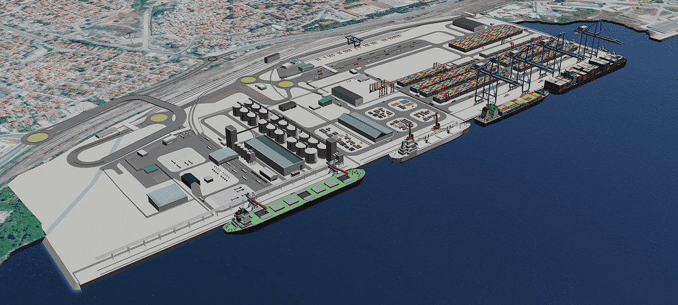
Our work supports a wide range of industries including mining, infrastructure development, government planning, environmental monitoring, and land management. By integrating advanced surveying techniques with digital mapping technologies, LSYSTEMS helps organizations make informed decisions based on precise spatial data.
Our Approach
LSYSTEMS follows a technology-driven approach to surveying and geospatial solutions. We utilize modern tools, advanced data collection methods, and geospatial analytics to ensure that our clients receive accurate, reliable, and actionable information.
Every project is approached with a strong focus on precision, safety, and efficiency. From aerial drone mapping and LiDAR surveys to GIS data management and infrastructure monitoring, our goal is to provide spatial intelligence that improves project planning, operational efficiency, and long-term asset management.
Our commitment to quality and accuracy ensures that clients receive dependable data that supports successful project outcomes.
Leadership – Richard Y. Nawara
LSYSTEMS is led by Richard Y. Nawara, a highly experienced registered surveyor with professional registration in Papua New Guinea, Queensland, and Western Australia.
With over 30 years of experience in mining, engineering, and land surveying, Richard has worked on major mining operations and infrastructure projects across Papua New Guinea and Australia. His professional background includes leadership roles in survey and geospatial operations where he has successfully implemented advanced technologies such as drone surveying platforms, LiDAR mapping systems, and digital geospatial data solutions.
Richard’s expertise in large-scale mining environments, combined with his strong understanding of spatial technology and project management, provides LSYSTEMS clients with trusted professional guidance and reliable geospatial solutions.
Our Clients


Official Reseller
Lorem Ipsum is simply dummy text of the printing and typesetting industry. Lorem Ipsum has been the industry's standard dummy text ever since the 1500s, when an unknown printer took a galley of type and scrambled it to make a type specimen book. It has survived not only five centuries, but also the leap into electronic typesetting, remaining essentially unchanged.
Industries We Support:
LSYSTEMS provides surveying and geospatial services to a wide range of industries including: