
Bathymetric / Marine Surveys
Bathymetric / Marine Surveys
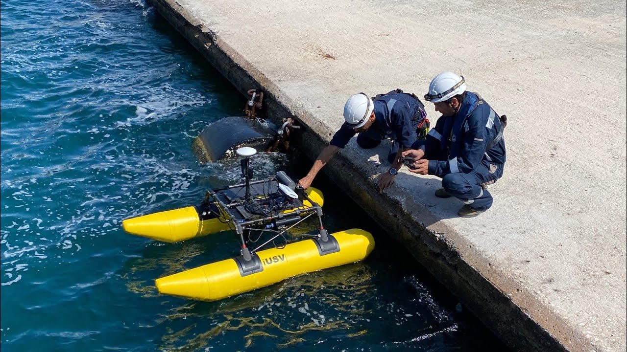
LSYSTEMS provides specialized bathymetric and marine surveying services for coastal, river, and marine environments. Using advanced hydrographic survey technologies, we map underwater terrain and collect detailed seabed data that supports marine infrastructure development and environmental monitoring.
Our bathymetric surveys are commonly used for harbour development, coastal engineering projects, marine infrastructure planning, and environmental assessments. These services provide accurate underwater mapping that enables safer navigation, better planning, and improved coastal management.