
GIS & Spatial Intelligence
GIS & Spatial Intelligence
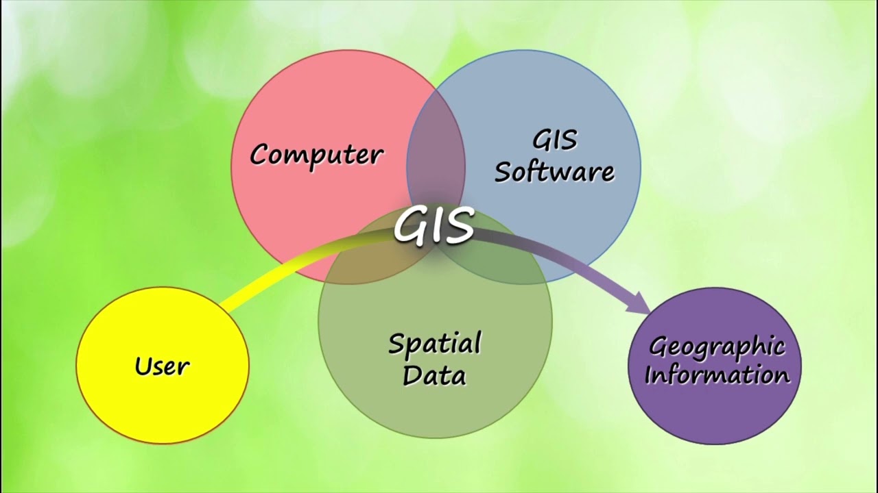
LSYSTEMS provides comprehensive Geographic Information System (GIS) and spatial intelligence solutions that help organizations manage, analyze, and visualize geospatial data. Our GIS services support informed decision-making by transforming complex spatial information into clear and actionable insights.
From enterprise GIS implementation to spatial data management and mapping analysis, our solutions help governments, mining companies, and infrastructure developers better understand their environments and optimize operations through reliable geospatial intelligence.