3D Scanning & Digital Twin Solutions
3D Scanning & Digital Twin Solutions
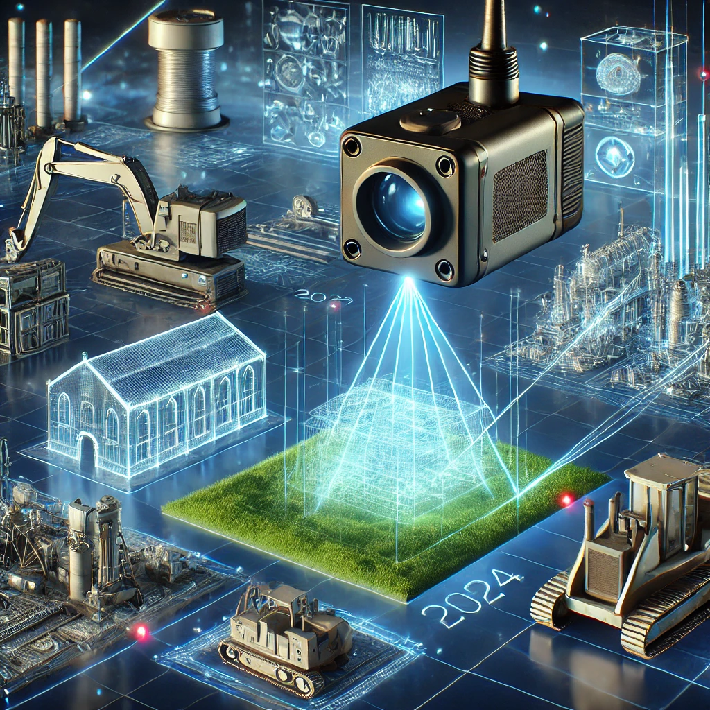
LSYSTEMS offers advanced 3D scanning and digital twin services to create highly accurate digital representations of physical assets and environments. Using modern laser scanning technologies, we capture detailed point-cloud data that can be transformed into precise 3D models.
These digital models help organizations visualize infrastructure, monitor asset conditions, and plan future development projects with confidence. Our digital twin solutions are particularly valuable for mining sites, industrial facilities, and large infrastructure projects where accurate spatial data is essential for operational efficiency and long-term planning.