Utility Detection & Subsurface Mapping
Utility Detection & Subsurface Mapping
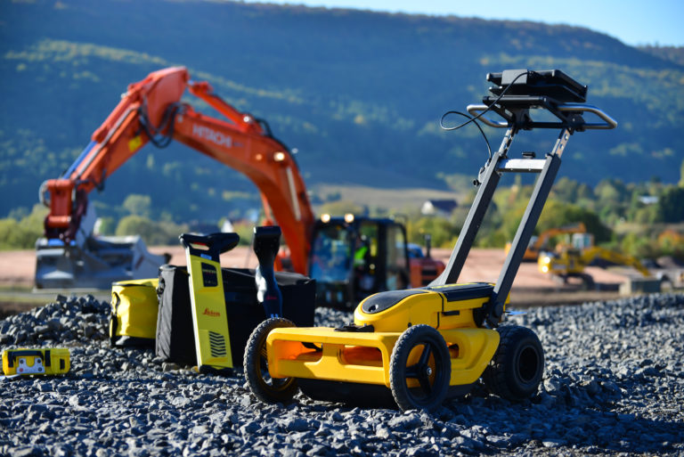
LSYSTEMS provides advanced utility detection and subsurface mapping services to identify underground infrastructure before construction or excavation begins. Using Ground Penetrating Radar (GPR) and other geophysical technologies, we locate buried utilities such as pipelines, cables, and other subsurface structures.
These services are essential for construction and infrastructure projects where accurate underground mapping helps prevent costly damage, improves project safety, and ensures compliance with utility location requirements such as dial-before-dig programs.